
Nearest Airport to Nainital
Pantnagar (PGH) is the nearest airport to Nainital — about 70 km and a 2 to 2.5 hour road transfer when the plains traffic cooperates.
19 May 2026 · 6 min read
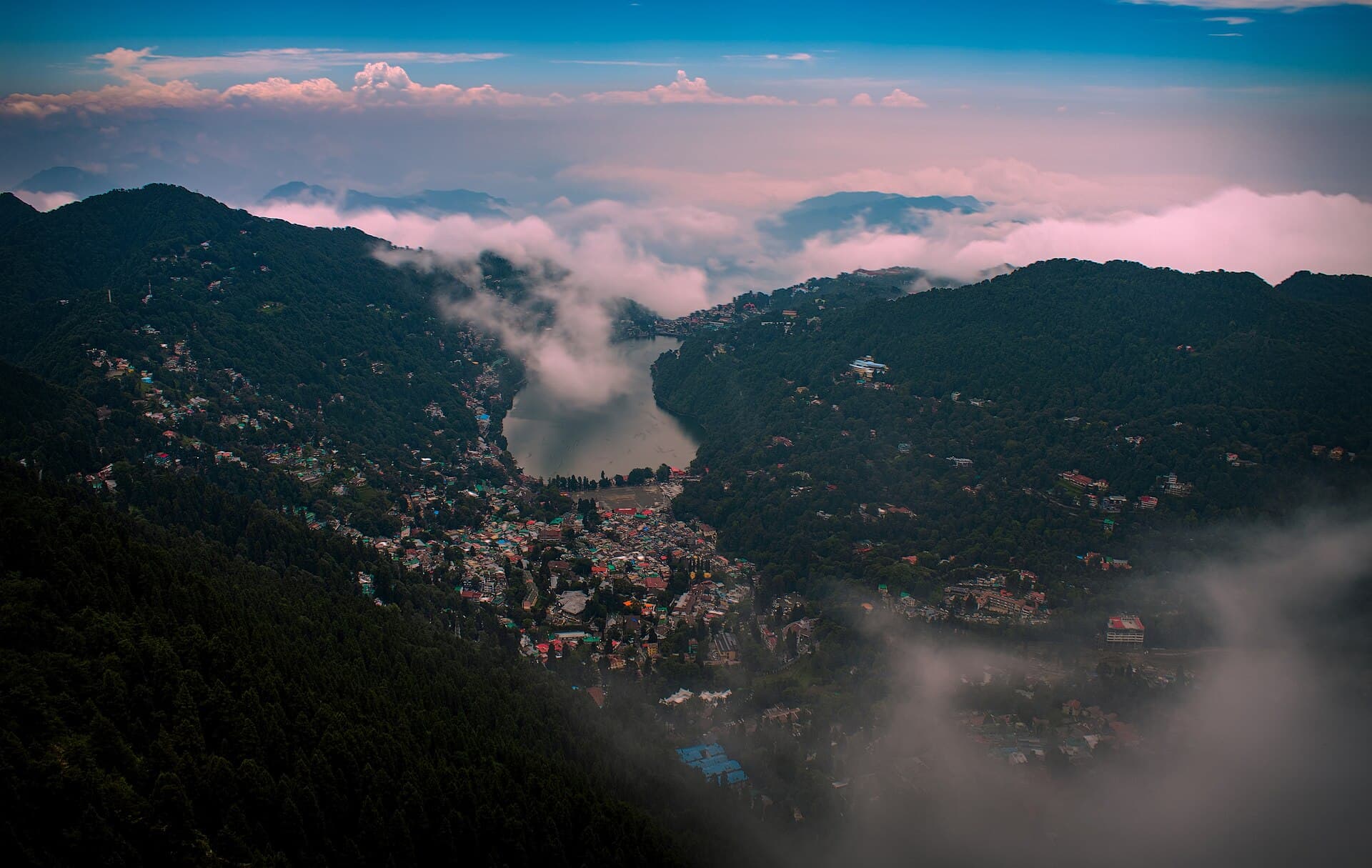
The nearest airport to Nainital is **Pantnagar Airport (PGH)** in Udham Singh Nagar district. There is no airport in Nainital town. Plan a road transfer as part of the trip, not as an afterthought.
Pantnagar to Nainital
- **Distance:** about 65–75 km depending on exact drop
- **Time:** typically 2 to 2.5 hours; longer in rain or evening Haldwani traffic
- **Route:** plains through Rudrapur / Haldwani / Kathgodam, then the ghats
Pre-book a taxi. Airport prepaid or hotel pickup beats hunting for a fare on a delayed flight.
Flights
Pantnagar has a thinner schedule than Delhi. If your city has a one-stop via Delhi, compare total door-to-door time with **train to Kathgodam**. A cheap flight plus a missed connection plus a night in Rudrapur is not a shortcut.
Other airports people consider
**Delhi (DEL)** is the practical long-haul gateway. Then train, bus or cab — Delhi guide. Distance from Delhi is ~300 km; see Nainital distance from Delhi.
**Dehradun (DED)** is not “near” in a useful way for Nainital; it is a different hill circuit.
A longer air+road combination is covered in Nainital nearest airport: air, road and train.
After you land
Do not schedule Snow View the same afternoon unless the flight is early and the road is kind. Check into the hotel, walk the lake, start sightseeing the next morning. First-time tips.
The Nainital Guide arranges Pantnagar and Kathgodam pickups regularly. The airport is the easy part. The last hill hour is the part to pad.
Related guides
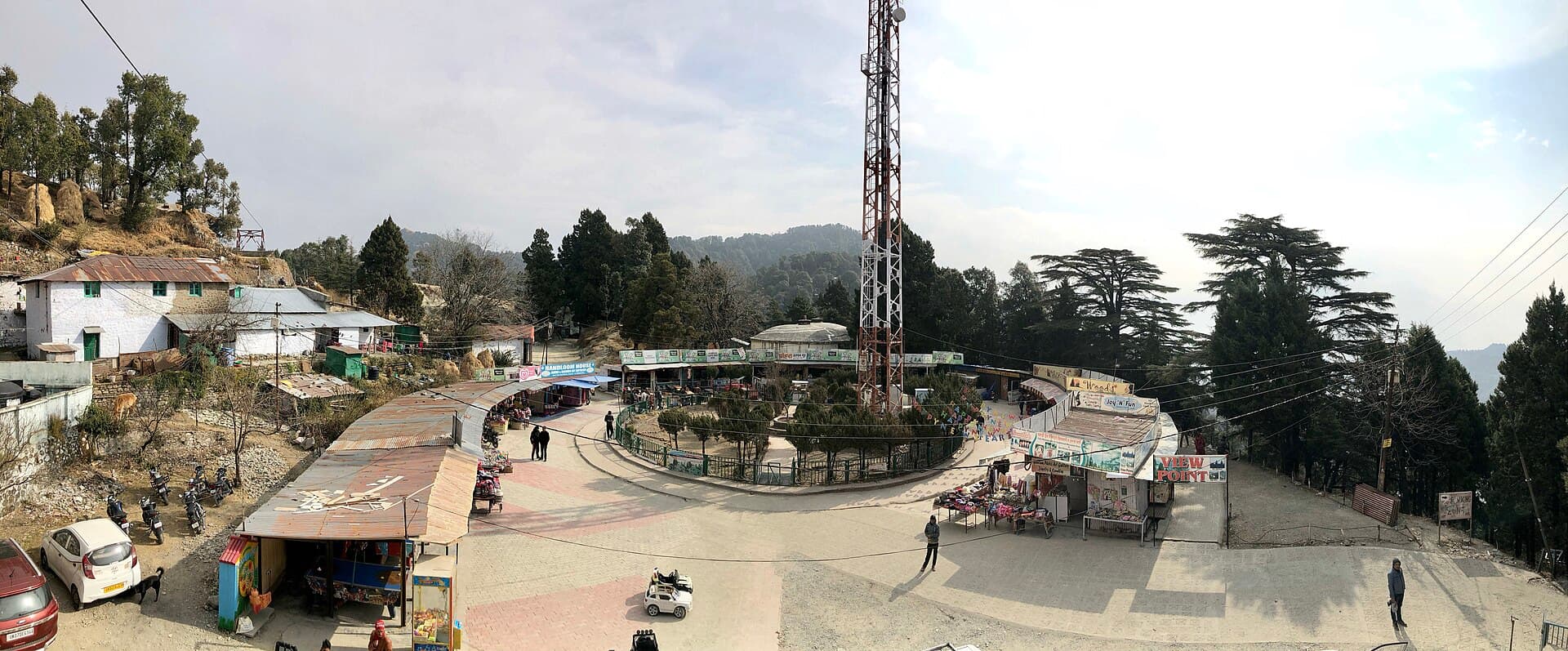
Nainital Weather Forecast for 15 Days
A 15-day Nainital forecast is a planning tool, not a promise — use it to pack, time boating, and avoid the worst rain or fog days.
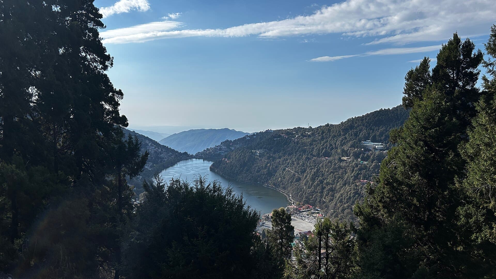
Nainital Tour Guide 2026
A 2026 tour guide to Nainital — the lake circuit that is worth your days, and the add-ons that only work if you have time.
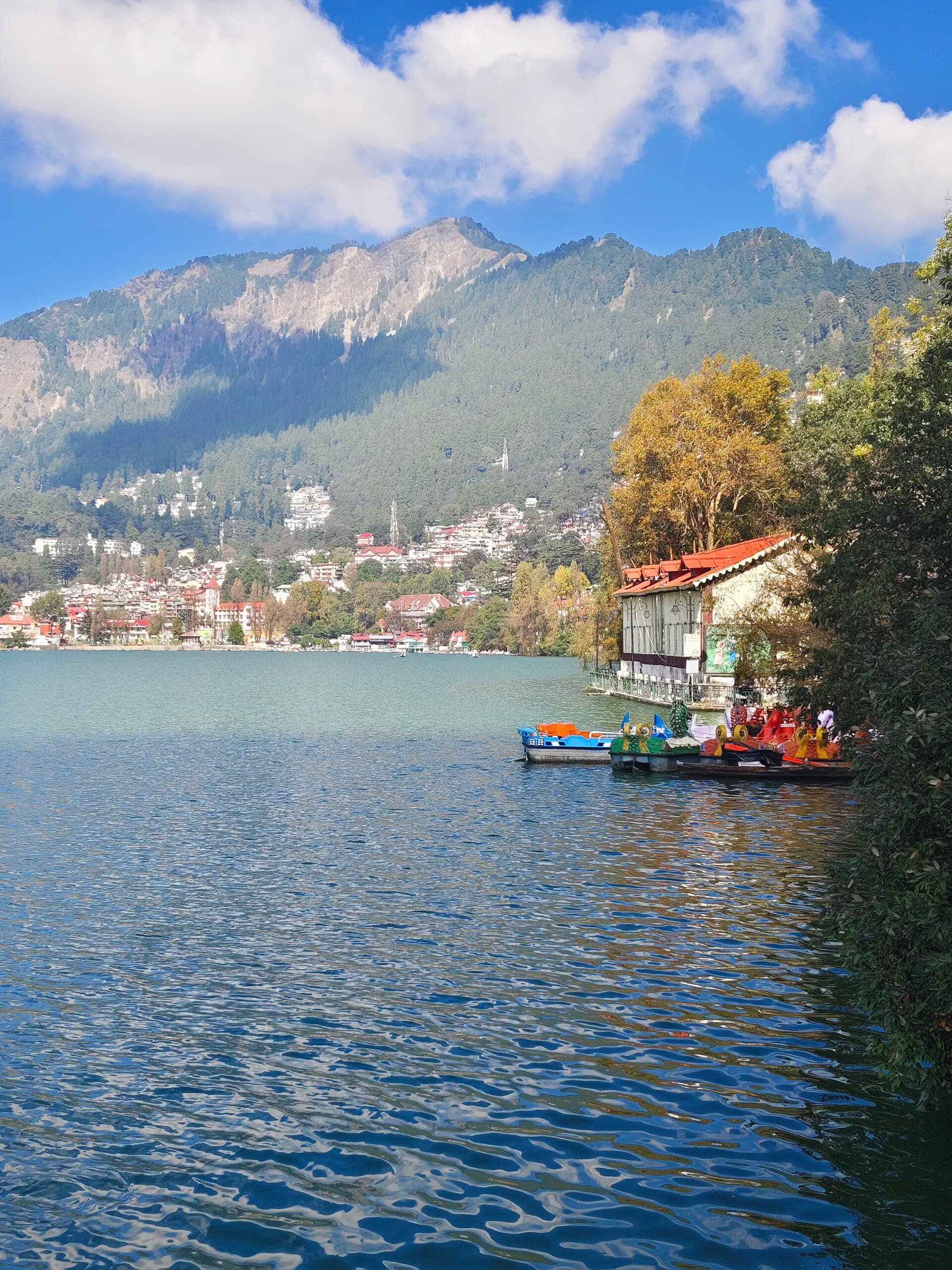
Nainital Weather Guide 2026
A 2026 weather guide to Nainital — month-by-month feel, crowds, and which season actually matches the trip you want.
Not sure where to start? Tell us your dates.
Send your travel dates and group size — we'll reply within a few hours with hotel and tour options that actually fit.